Dimensional Tools
Geographers Use to Learn About the World
The tools geographers use drawn out maps in 2 dimension & 3 dimension. They also use technology to help them observe the world better such as GPS & GIS.

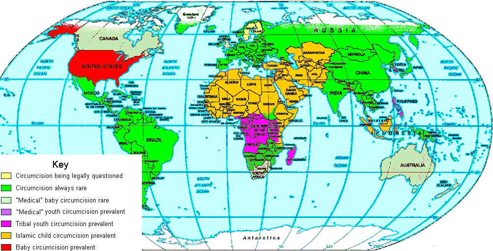
Geographers use a variety of maps, photographs and Earth scans to help them study and better understand our small blue planet. Because of the many modern technologies available today, geographers are able to depict the Earth more accurately than has ever been possible before. By using both technology and hands on exploration and field study, a clear picture of the world we live in begins to emerge.


GIS Sands for Geographic Information System. GIS is a special databasewith a strong visual display comonent. this is not a mappimg program. this was developed in the 1980's . Although its acceptance outside the the enviroment was quite slow.
GIS?
GPS?
GPS stands for Global Positioning System. This is a satalite navigation sytem made to provide exact locations, speed and the time anywhere in the world. The GPS is controlled by the Department Of Defense. it wirks becuase each satellite makes its orbital positon as an exact signal.